Back to projects

$0

/metric ton of CO₂e

Not currently available on Pachama's Marketplace
US

United States


2,248 ha

Chestnut Mountain

Improved Forest Management

Demonstrating climate-conscious forest management in Tennessee

$0

/metric ton of CO₂e

Available via direct sales only
Overview

Chestnut Mountain

US

United States

2,248 ha


Developer: The Nature Conservancy

Improved Forest Management

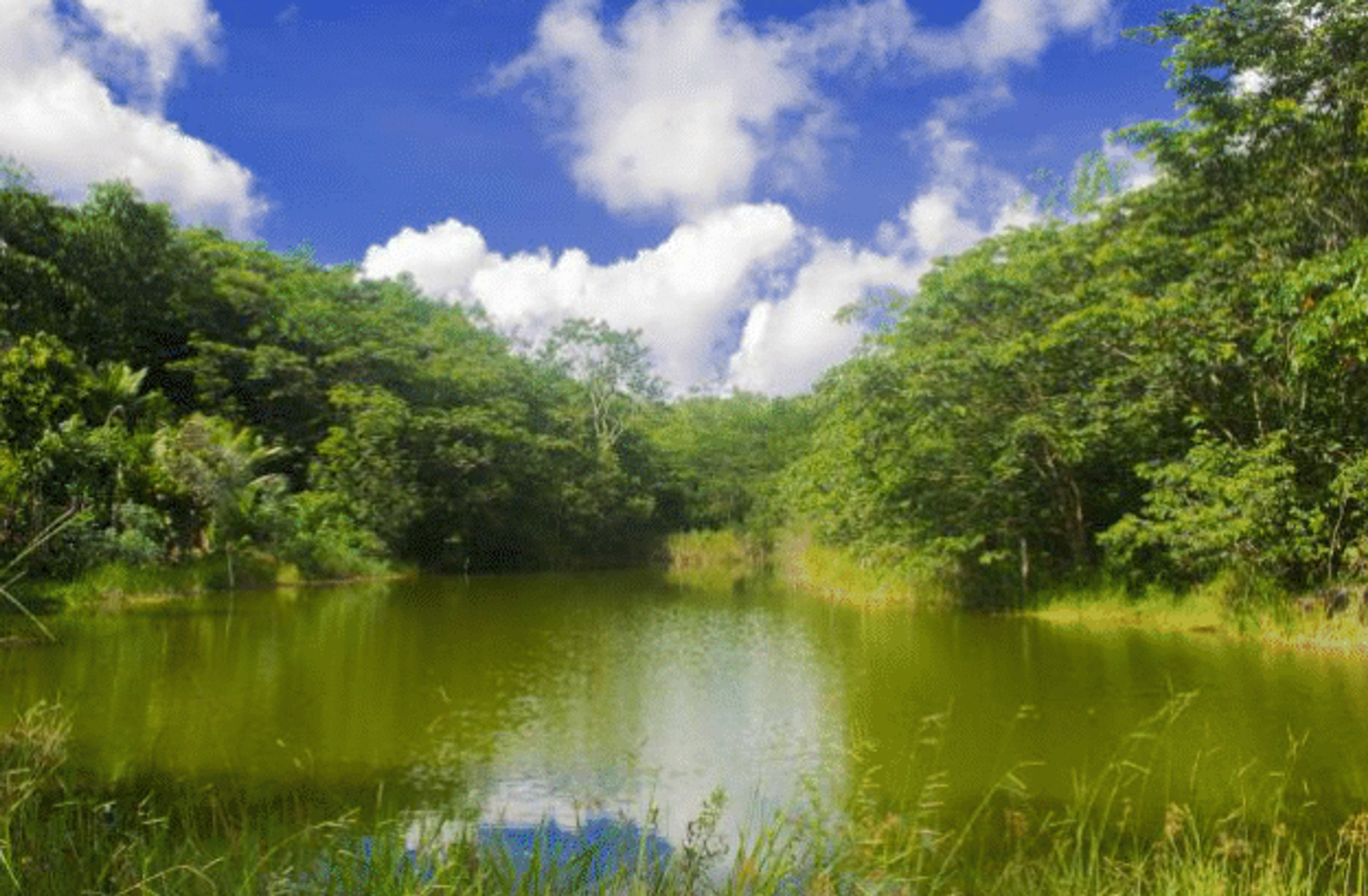
The Chestnut Mountain Improved Forest Management project is located in central Tennessee atop a plateau overlooking industrial forestland and agricultural fields. The land was donated to The Nature Conservancy by Bridgestone Americas, Inc in June 2018. The surrounding region’s hardwood forests have been heavily cut for decades, and there is a recent trend of converting those woodlands to loblolly pine plantations for industrial use. The Nature Conservancy plans to use Chestnut Mountain as a showcase of climate-conscious forest management with harvests far more conservative than the regional common practice that focus on forest health, shortleaf pine restoration, carbon sequestration, and wildlife habitat.

Registry

Registry ID: 441

Methodology

Improved Forest Management Methodology for Quantifying GHG Removals and Emission Reductions through Increased Forest Carbon Sequestration on Non-Federal U.S. Forestlands version 1.3 (April 2018)

Pachama's project evaluation criteriaPachama rigorously evaluates every project listed on our marketplace to ensure that we're surfacing only the highest quality projects. Our Evaluation Criteria includes a series of checks that every project must pass as well as a number of informative insights on project quality. You can see a preview of these checks below.

01

Accurate

The project's emissions reductions have been conservatively quantified

  • Baseline

    The reported baseline emissions are less than or equal to Pachama's observed baseline emissions. There are some variations based on project type.

  • Past Project Emissions

    The reported emissions inside the project area are greater than or equal to Pachama's observed emissions.

  • Carbon Inventory

    The project estimated their carbon stocks using a field inventory or remote sensing approach that was statistically representative of the project area, and their carbon stock estimate included a confidence interval and had <15% standard error.

02

Additional

Emissions reductions would not have occurred without the incentive of carbon credits

  • Project Boundary

    The boundary has not been artificially manipulated to increase crediting.

  • Financial and Legal Additionality

    There was no funding for carbon project activities in the 10 years prior to the project start date, and there were no legal requirements for emissions reductions or removals.

  • Improved Forest Management Projects Only

    Forest Maturity

    The crediting period must extend at least 25% beyond the age of economic maturity for at least half of the project area.

  • Reforestation Projects Only

    Forest Cover

    There must be no deforestation within the project area and existing forest cover must be less than 10% in the 10 years prior to project start date.

03

Durable

The project delivers a long-lasting climate impact ensured by continuous monitoring and reporting

  • Recent Project Emissions

    Pachama observed project emissions are less than the leakage-adjusted baseline meaning the project continues to provide a net climate benefit since their last credit issuance.

  • Fire Risk

  • Other Natural Risks

  • Buffer Pool

04

Net

The project hasn't simply moved deforestation from one place to another, producing no net climate benefit

  • Leakage Summary

    Pachama currently examines and summarizes leakage calculations from registry-verified documents. Accounting for leakage is an inherently complex challenge with a range of methodologies. Pachama is using satellite observations to develop a consistent and easy-to-understand approach to quantifying leakage.

05

Beyond Carbon

The project causes no net harm and delivers biodiversity and community benefits

  • Free, Prior, Informed Consent

    The project sufficiently demonstrated proper community engagement and consultation, and a grievance and redress mechanism is in place.

  • Certifications

  • Forest Management

  • Reforestation Projects Only

    Ecological Impacts

    For reforestation projects, the forest composition must be a majority native species, there must be at least 5 different species planted, and the species assemblage and density should be similar to what would typically be found in the local ecoregion.

1/5


Impacts beyond carbon

Recreation access, cultural sites, and important water sources

This project aims to advance three of The Nature Conservancy's Shared Conservation Agenda Priorities: tackle climate change, protect land and water, and connect people and nature through a direct reduction of harvesting.

11

Sustainable cities and communities

The State of Tennessee’s Department of Environment and Conservation and other stakeholders are engaged in a recreation access planning process. Chestnut Mountain serves as a critical linkage between multiple State-owned recreation areas, and trail corridor connectors. Acceptable recreation uses include low-impact, non-motorized activities such as hiking, access to scenic overlooks, and primitive campsites.

13

Climate action

Historically the land was owned by the Cherokee people, and Native American historical and cultural sites can be found throughout the property. Though these sites are not officially registered, there is evidence of artifacts from prehistoric cave dwellings along with rock piles, stonewalls, chimneys, root cellars, and Yucca plants associated with Native Americans and European settlers. These sites will be protected in accordance with the project's forest management plan.

06

Clean water and sanitation

Billy Branch Lake, found in the northern region of Chestnut Mountain, is the main drinking water source for local communities. Before the maintenance of this lake, the communities on the surrounding plateau only had access to well water, which dries up during droughts. Water quality health is upheld by maintaining a healthy forest.

biodiversity
A vital platform to promote forest health and climate-smart forestry

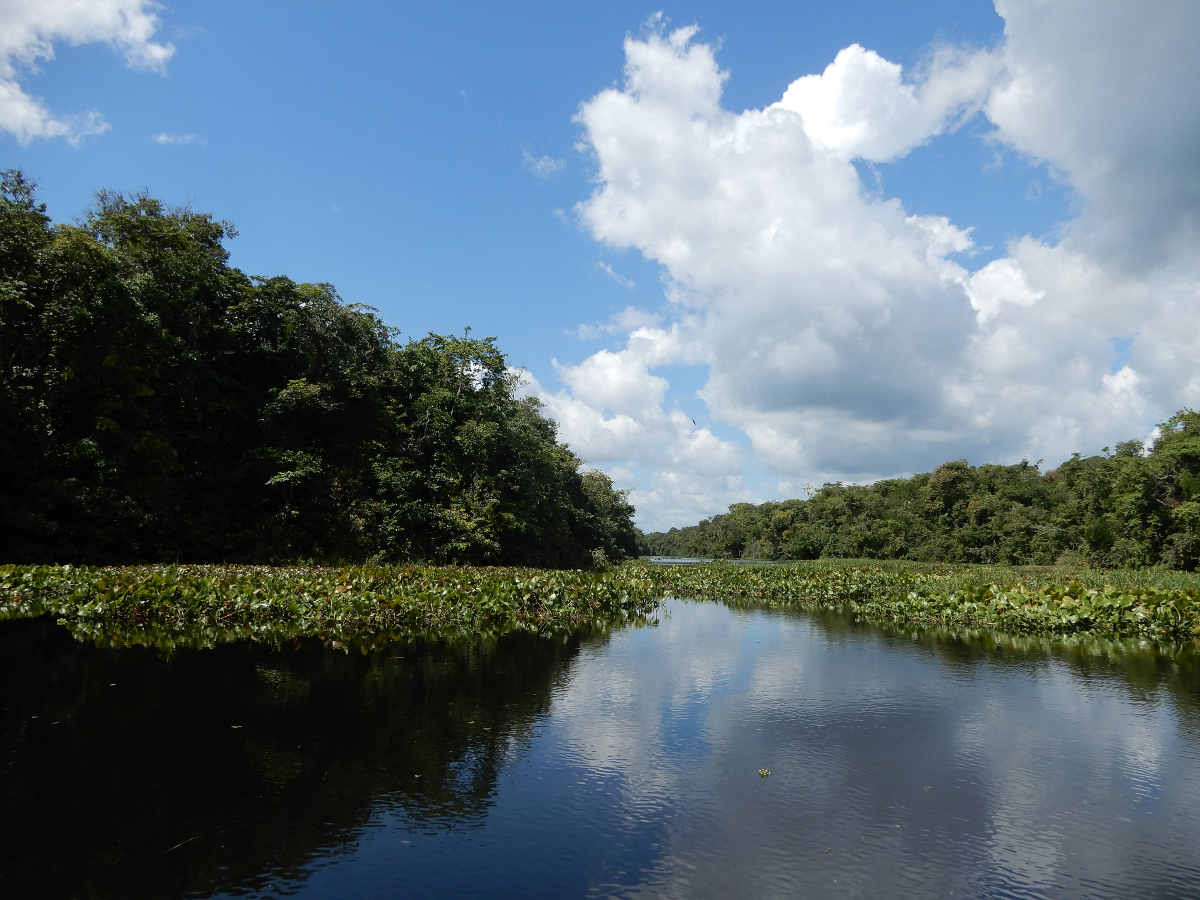
There is a diversity of topographic features such as waterfalls, bluffs, and scenic overlooks along the southern and western boundaries of the property that illustrate the scale of the landscape thanks to decades of conservation land acquisition. The project supports rare forest types by repopulating species that were once dominant such as the shortleaf pine and hemlock. Hemlocks live 500-800 years, and are known in the region as the Redwoods of the East; hemlocks are native to Chestnut Mountain. Additionally, over 25 wildlife cameras provide a glimpse into the rich ecosystem of coyotes, bobcats, deer, turkeys, and endangered rattlesnakes.

biodiversity image
project files
  • Second Verification Report

    pdf

    Download
  • First Verification Report

    pdf

    Download
  • Project Description

    pdf

    Download

Explore Other Projects